


KNOW EXACTLY WHERE YOU'RE HEADED
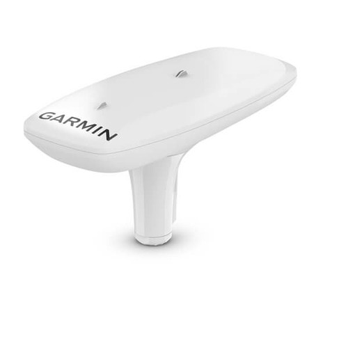
Get reliable, accurate heading information with the easy-to-install GPS-based MSC™ 10 Marine Satellite Compass.

Accuracy comes easy when you’ve got a multi-band GNSS receiver on board.

Faster updates. More detailed tracking.

Rough waters got you worried? MSC 10 delivers pitch, roll and heave info, too.

If other onboard systems need a heading sensor, we’ve got you covered.
Head out confidently.
MULTI-BAND GNSS AND MULTI-CONSTELLATION
The multi-band GNSS (L1 and L5 GPS) and multi-constellation (GPS, Galileo1, GLONASS and BeiDou1) receiver delivers precise positioning2.
BOAT HEAVE AND MORE
Get reliable, accurate boat heave, pitch and roll information — even in rough waters.
BUILT-IN ATTITUDE HEADING REFERENCE SYSTEM (AHRS)
The built-in AHRS delivers better GPS heading information at high speeds.
ACCURATE HEADING DATA
Multiple receivers deliver heading accuracy within 2 degrees. Because it uses satellite signals, you don’t have to worry about magnetic interference.
PRIMARY SENSOR ACROSS MULTIPLE SYSTEMS
You can use MSC 10 as the primary sensor for autopilots and other onboard systems that need accurate heading information.
NMEA 2000® NETWORK COMPATIBLE
Get heading, pitch, roll and heave information delivered straight to your compatible Garmin chartplotter via the NMEA 2000 network.
Built for a better boating experience.
EASY TO INSTALL
This compact device is simple to install and easily integrates into your Garmin marine ecosystem.
10 HZ UPDATE RATE
Get better, more detailed tracking information, thanks to the 10 Hz position update rate.
BACKUP HEADING SENSOR
In the extremely rare case that you lose satellite signal, MSC 10 will seamlessly transition from GPS-based to magnetometer-based heading3.
1 Supported when available.
2 < 1 metre CEP, < 3 metres 95%
3 Magnetometer calibration required for backup magnetic heading support.
Specifications
| Dimensions (W x D x H) | 6.1" x 13.1" x 3.0" (155.5 x 333.6 x 76.2 mm) |
| Weight | 810 g (28.6 oz) |
| Cable length | 19 ft 8 in (6 m) |
| Temperature range | -15° to 70° C (5° to 158° F) |
| Case material | Glue sealed, high-impact plastic alloy; waterproof to IPX7 |
| Compass-safe distance | 0" (0 mm) |
| Power source input | 9-16 Vdc, unregulated |
| input current | 180 mA at 12 Vdc |
| NMEA 2000 Load Equivalency Number (LEN) | 6 (300 mA max) |
| Position accuracy, typical marine use | < 1 metre, CEP, < 3 metres, 95% |
| Heading accuracy | 2° RMS |
| Heave accuracy | 8 cm RMS |
In The Box
- MSC™ 10 Marine Satellite Compass
- Pole mount
- Mounting hardware
- NMEA 2000® backbone/drop cable (6 metres)
- NMEA 2000 T-connector
- Documentation