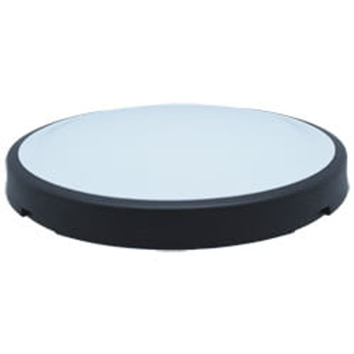
Hemisphere Vector™ V500 Smart Antenna
Multi-Frequency, Multi-GNSS Vector Compass
Key Features:
- Simple all-in-one RTK-capable
- Multi-frequency GPS/GLONASS/BeiDou/Galileo/QZSS/IRNSS
- Athena™ RTK and Atlas® L-band capable
- Supports Ethernet, CAN, Serial, Bluetooth, and Wi-Fi
- Powerful WebUI accessed via Wi-Fi
- Fully rugged solution for the harshest environments
The Vector V500 is Hemisphere GNSS' all-in-one multifrequency, multi-GNSS smart antenna which provides RTK-level position and precise heading. This rugged design is sealed for the harshest environments and is a great solution for professional marine and other challenging applications.
The all-in-one V500 combines simple installation with consistent and precise heading accuracy and RTK positioning.
GNSS Sensor Specifications
| Receiver Type | Vector GNSS RTK Receiver |
| Signals Received |
|
| Channels | 1059 |
| GPS Sensitivity | -142 dBm |
| SBAS Tracking | 2-channel, parallel tracking |
| Update Rate: Timing (1 PPS) | 10 Hz standard, 20 Hz optional |
| Accuracy | 20 ns 6 |
| Rate of Turn | 100°/s maximum |
| Cold Start | 60 s (no almanac or RTC) |
| Warm Start | 30 s typical (almanac and RC) |
| Hot Start | 10 s typical (almanac, RTC and position) |
| Heading Fix | 10 s typical (valid position) |
| Impedence | 50 ω |
| Maximum Speed | 1,850 mph (999 kts) |
| Maximum Altitude | 18,288m (60,000 gt) |
| Differential Options |
|
Accuracy
| Position (Single Point)1 |
|
| Position (SBAS)2 |
|
| Position (Atlas H10 (L-band))6 |
|
| Position (Atlas H30 (L-band))6 |
|
| Position (Atlas Basic (L-band))6 |
|
| Position (RTK)1,3 |
|
| Heading (RMS) |
|
| Pitch/Roll (RMS) |
|
| Heave (RMS) |
|
L-Band Receiver Specifications
| Channels | 1525 to 1560 MHz |
| Sensitivity | -130 dBm |
| Channel Spacing | 5 kHz |
| Satellite Selection | Manual or Automatic |
| Reacquisition Time | 15 sec (typical) |
Communications
| Ports |
|
| Baud Rates | 4800 - 115200 |
| Radio Interfaces | Bluetooth 2.0 (Class 2), Wi-Fi 2.4 GHz |
| Correction I/O Protocol |
|
| Data I/O Protocol | NMEA 0183, Hemisphere GNSS binary |
| Timing Output | 1 PPS (CMOS, rising edge sync) |
| Event Marker Input | Open drain, falling edge sync, 10 kω, 10 pF load |
Power
| Input Voltage | 9 - 32 VDC |
| Power Consumption | 7.5 W maximum |
| Current Consumption (multi-GNSS, typical continuous draw@ 12V) | 1.8 A maximum |
| Power Isolation | No |
| Reverse Polarity Protection | Yes |
Environmental
| Operating Temperature | -40°C to + 70°C (-40°F to + 158°F) |
| Storage Temperature | -40°C to + 85°C (-40°F to + 185°F) |
| Humidity | 95% non-condensing |
| Enclosure | ISO 60529:2013 for IPx6/IPx7/IPx9 |
| Vibration | IEC 60945:2002 Section 8.7 Vibration |
| EMC |
|
Mechanical
| Dimensions | 68.6 L x 22.0 W x 12.3 H (cm) / 27.0 L x 8.7 W x 4.8 H (in) |
| Weight | 3.7 kg (8.2 lb) |
| Status Indications (LED) | Power, GNSS Lock, Heading |
| Power/Data Connector | 22-pin environmentally sealed |
Aiding Devices
| Gyro | Provides smooth heading, fast heading reacquisition and reliable 1˚ per minute heading for periods up to 3 minutes when loss of GPS has occurred4 |
| Tilt Sensors | Provide pitch and roll data and assist in fast start-up and reacquisition of heading solution |
Notes:
1 Depends on multipath environment, number of satellites in view, satellite geometry, no SA, and ionospheric activity
2 Depends on multipath environment, number of satellites in view, WAAS coverage and satellite geometry
3 This is the minimum safe distance measured when the product is placed in the vicinity of the steering magnetic compass. The ISO 694 defines "vicinity" relative to the compass as within 5 m (16.4 ft) separation
4 Based on a 40 second time constant
5 Hemisphere GNSS proprietary
6 Requires a Hemisphere GNSS subscription
7 With future firmware upgrade and activation


